Greetings.
I am a man in a suit who has fallen into the world of Minecraft.
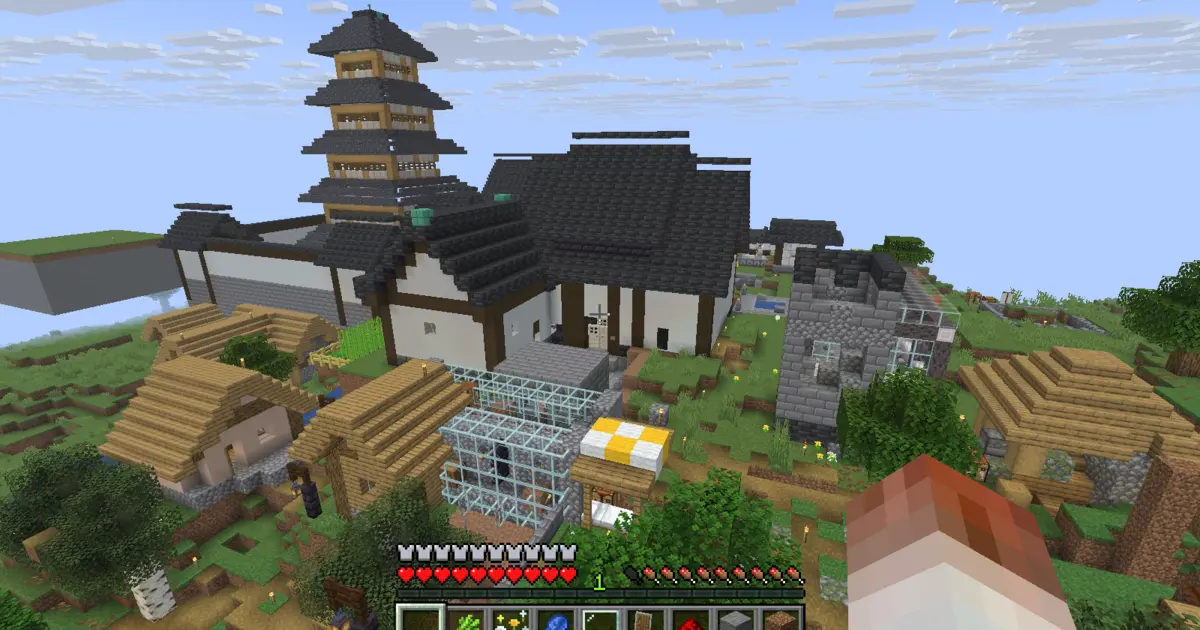
The castle town has become much busier as more buildings have appeared.
This time, I am making a map from paper and a compass so I can fit the whole town onto a single sheet.
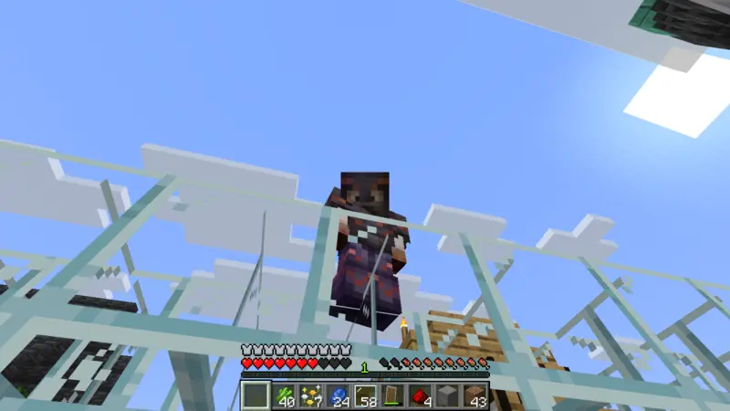
Making paper and a compass from castle town supplies
First, I bring over the 64 sugar cane collected by the harvester.
The sugar cane gathered by the machine I built two episodes ago is already becoming useful for this map.
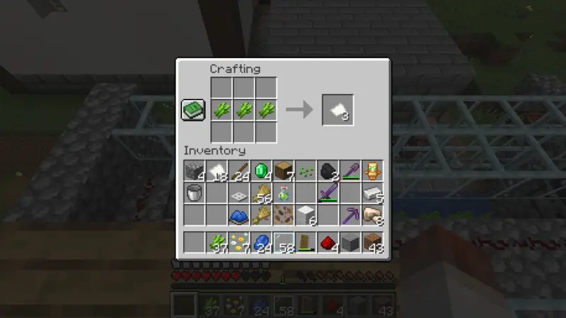
I arrange sugar cane on the crafting table and turn it into paper.
I will also need paper to expand the map, so I prepare a little extra.
Next, I combine iron with redstone to make a compass.
It is interesting that such a small tool will help turn the entire town into a map.
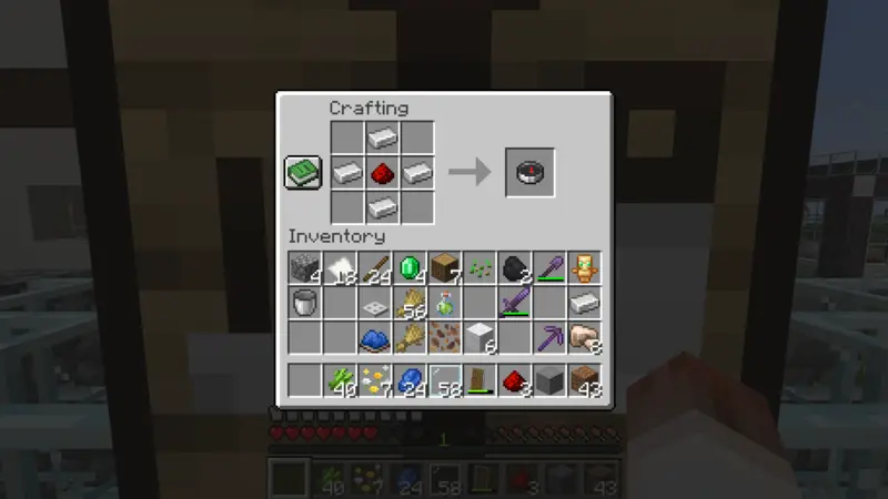
Combining the paper and compass gives me an empty map.
When I open it in the middle of the castle town, the surrounding terrain begins to appear.
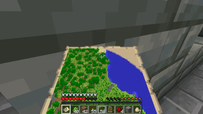
Expanding the map to scale 2 and adding four banner markers
The first map covers too small an area, so I place the map and paper on the cartography table to expand it.
At scale 1, the western edge of the castle town and the cow pasture do not fit on this map.
I expand it once more and use scale 2 instead.
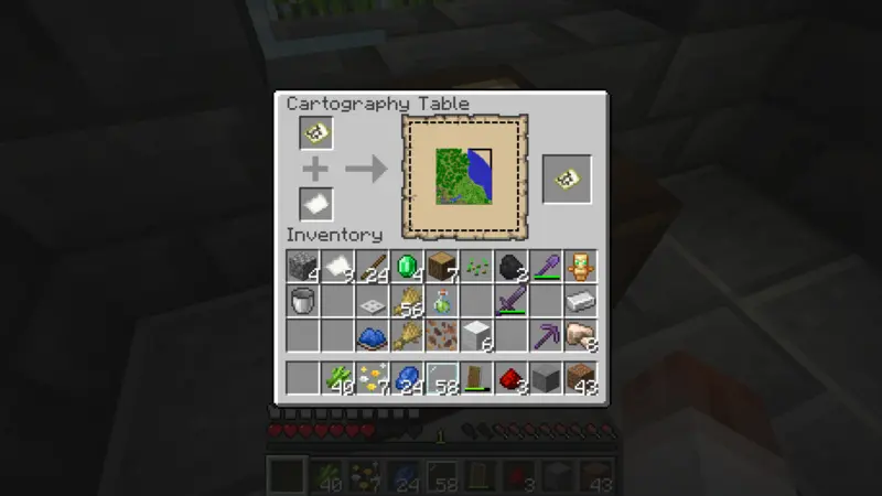
In this run, the map has a different center after it is expanded.
The new position includes the whole town, so I begin walking around to fill in the blank areas.
A map full of buildings can still be difficult to read without knowing what each place is.
I decide to place banners at four locations: the cartographer workshop, watchtower, archaeology museum, and cow pasture.
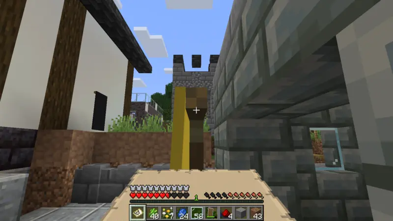
The cartographer workshop gets a yellow banner.
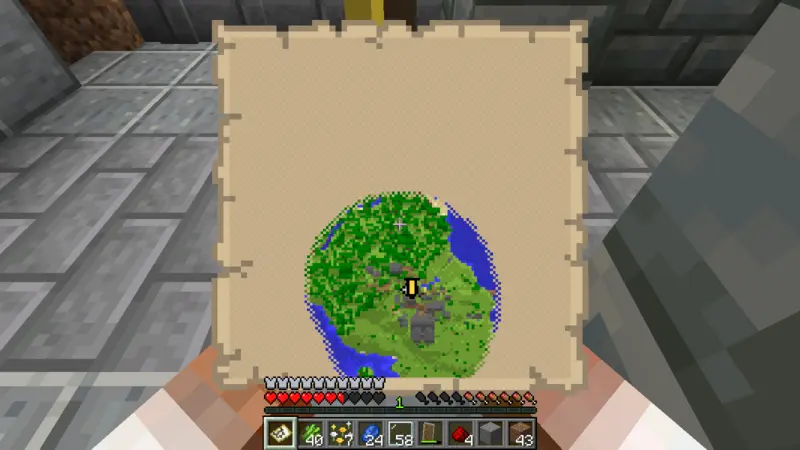
When I touch the banner once while holding the map, a marker of the same color appears.
During this run, touching it again removes the marker, so I add them carefully, one location at a time.
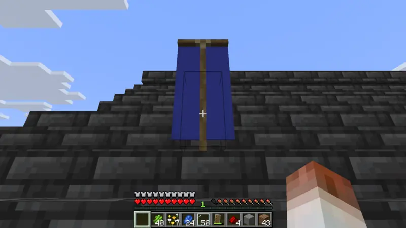
The watchtower gets a blue banner.
Its tall entrance should now be easier to find on the map as well.
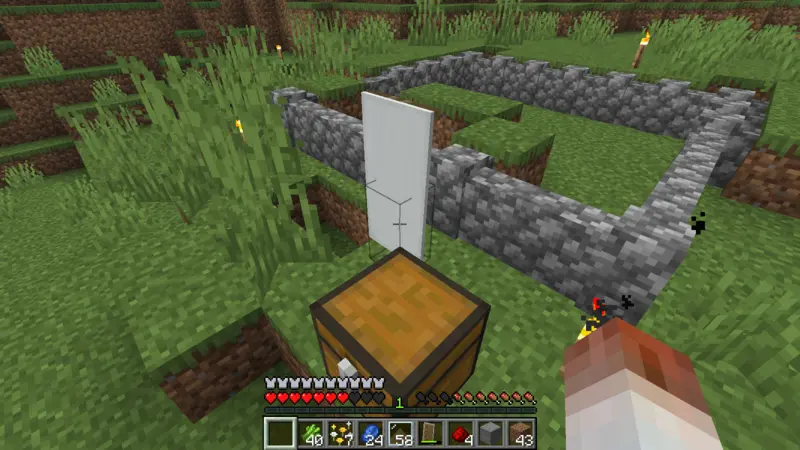
I place a white banner at the archaeology museum and another at the cow pasture.
The farm from the previous episode has already become one of the castle town’s important landmarks.
Fitting the castle town onto one map and displaying it
I walk through the town with the map and fill in the places that have not appeared yet.
The five-story pagoda, archaeology museum, greenhouse, watchtower, houses, and cow pasture all come into view.
The buildings added little by little through the previous episodes now look like one connected town.
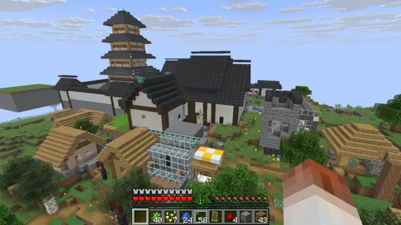
After one trip around the town, the entire castle town fits onto the map!
It feels large while I am walking through it, but the roads and buildings make much more sense when I see them together on one sheet.
Finally, I display the finished map on the wall of the cartographer workshop.
The leather obtained last time becomes the item frame that holds it here.
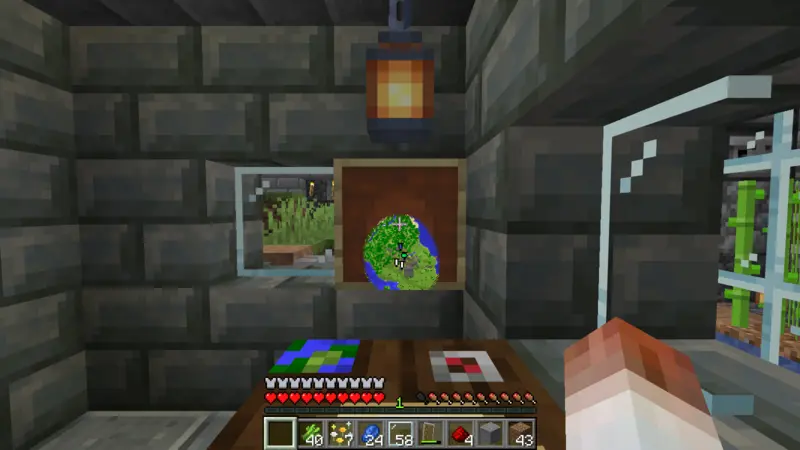
With markers for the cartographer workshop, watchtower, museum, and cow pasture, the castle town now has its own guide map.
Every future building will give me another reason to come back and look at it.
I wonder what new place will appear on the map next.
That is all for this time.
Greetings.